Sheepfold and tidal inlet
Introduction
The photograph on this page of Sheepfold and tidal inlet by Gordon Hatton as part of the Geograph project.
The Geograph project started in 2005 with the aim of publishing, organising and preserving representative images for every square kilometre of Great Britain, Ireland and the Isle of Man.

There are currently over 7.5m images from over 14,400 individuals and you can help contribute to the project by visiting https://www.geograph.org.uk
Sheepfold and tidal inlet
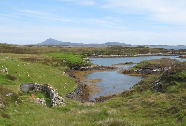
Image: © Gordon Hatton Taken: 23 Jun 2019
Close by the bothy that I photographed in 2012, the sheepfold is marked on the OS map.The tidal inlet leads out to a channel between 'mainland' Benbecula and Orasaigh, one of many tidal islands of that name around the west coasts of Scotland.
Images are licensed for reuse under creativecommons.org/licenses/by-sa/2.0
Image Location
Latitude
57.435077
Longitude
-7.225643