Olna Firth
Introduction
The photograph on this page of Olna Firth by David Dixon as part of the Geograph project.
The Geograph project started in 2005 with the aim of publishing, organising and preserving representative images for every square kilometre of Great Britain, Ireland and the Isle of Man.

There are currently over 7.5m images from over 14,400 individuals and you can help contribute to the project by visiting https://www.geograph.org.uk
Olna Firth
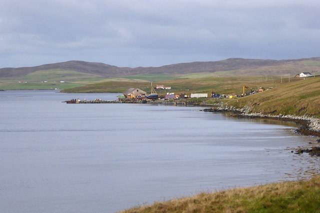
Image: © David Dixon Taken: 21 Sep 2018
Olna Firth is an inlet off St. Magnus Bay on the western side of Shetland Mainland. It is orientated roughly east to west, opening to Cole Deep at its mouth on the west side and ending at its head on the east side, where the settlement of Voe is located.
Images are licensed for reuse under creativecommons.org/licenses/by-sa/2.0
Image Location
Latitude
60.368109
Longitude
-1.3147