Bench mark on Camfa-Rhinallt Turnpike House
Introduction
The photograph on this page of Bench mark on Camfa-Rhinallt Turnpike House by John S Turner as part of the Geograph project.
The Geograph project started in 2005 with the aim of publishing, organising and preserving representative images for every square kilometre of Great Britain, Ireland and the Isle of Man.

There are currently over 7.5m images from over 14,400 individuals and you can help contribute to the project by visiting https://www.geograph.org.uk
Bench mark on Camfa-Rhinallt Turnpike House
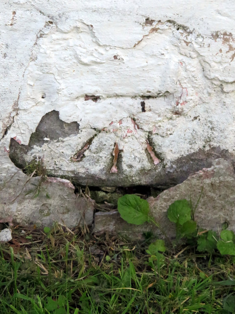
Image: © John S Turner Taken: 4 Jul 2019
This Ordnance Survey bench mark is on the north east face of the former Camfa-Rhinallt Turnpike House at the junction of the A5104 and Padeswood Lake Road. See also Image
Images are licensed for reuse under creativecommons.org/licenses/by-sa/2.0
Image Location
Latitude
53.142777
Longitude
-3.069482