Inverted bench mark on Pen yr Allt barn, Padeswood
Introduction
The photograph on this page of Inverted bench mark on Pen yr Allt barn, Padeswood by John S Turner as part of the Geograph project.
The Geograph project started in 2005 with the aim of publishing, organising and preserving representative images for every square kilometre of Great Britain, Ireland and the Isle of Man.

There are currently over 7.5m images from over 14,400 individuals and you can help contribute to the project by visiting https://www.geograph.org.uk
Inverted bench mark on Pen yr Allt barn, Padeswood
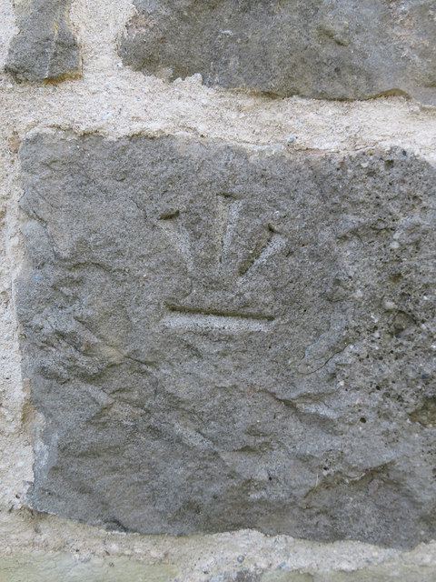
Image: © John S Turner Taken: 4 Jul 2019
An inverted bench mark on Pen yr Allt converted barn, Padeswood. The barn is now a smart timber framed and stone house, and the inverted mark usually indicates that the stonework has been rebuilt.
Images are licensed for reuse under creativecommons.org/licenses/by-sa/2.0
Image Location
Latitude
53.146126
Longitude
-3.076892