Padeswood Lake Road former railway bridge
Introduction
The photograph on this page of Padeswood Lake Road former railway bridge by John S Turner as part of the Geograph project.
The Geograph project started in 2005 with the aim of publishing, organising and preserving representative images for every square kilometre of Great Britain, Ireland and the Isle of Man.

There are currently over 7.5m images from over 14,400 individuals and you can help contribute to the project by visiting https://www.geograph.org.uk
Padeswood Lake Road former railway bridge
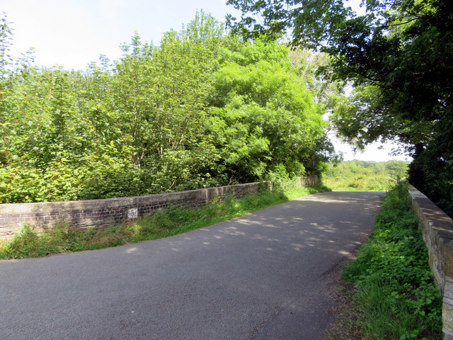
Image: © John S Turner Taken: 4 Jul 2019
Looking across the former railway bridge that carries Padeswood Lake Road over a deep cutting that once carried the L.& N.W.R. Frith Branch railway. There is an Ordnance Survey rivet bench mark on the left parapet: Image
Images are licensed for reuse under creativecommons.org/licenses/by-sa/2.0
Image Location
Latitude
53.148937
Longitude
-3.084139