The old A420 west of Southmoor
Introduction
The photograph on this page of The old A420 west of Southmoor by Stefan Czapski as part of the Geograph project.
The Geograph project started in 2005 with the aim of publishing, organising and preserving representative images for every square kilometre of Great Britain, Ireland and the Isle of Man.

There are currently over 7.5m images from over 14,400 individuals and you can help contribute to the project by visiting https://www.geograph.org.uk
The old A420 west of Southmoor
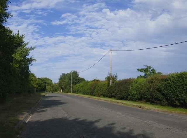
Image: © Stefan Czapski Taken: 5 Jul 2019
Looking eastward towards Kingston Bagpuize and Abingdon. Behind the camera the old road is blocked at the point where it converges with its modern replacement: https://www.geograph.org.uk/photo/6206136
Images are licensed for reuse under creativecommons.org/licenses/by-sa/2.0
Image Location
Latitude
51.675339
Longitude
-1.449537