View down The Strait, Lincoln
Introduction
The photograph on this page of View down The Strait, Lincoln by Brian Robert Marshall as part of the Geograph project.
The Geograph project started in 2005 with the aim of publishing, organising and preserving representative images for every square kilometre of Great Britain, Ireland and the Isle of Man.

There are currently over 7.5m images from over 14,400 individuals and you can help contribute to the project by visiting https://www.geograph.org.uk
View down The Strait, Lincoln
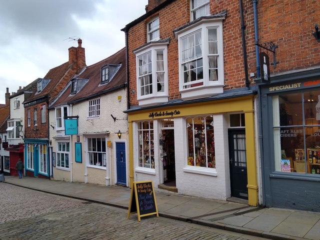
Image: © Brian Robert Marshall Taken: 6 Jul 2019
The Strait is home to a number of small independent shops.
Images are licensed for reuse under creativecommons.org/licenses/by-sa/2.0
Image Location
Latitude
53.231845
Longitude
-0.538992