Barham Bowls Club, Valley Road
Introduction
The photograph on this page of Barham Bowls Club, Valley Road by John Baker as part of the Geograph project.
The Geograph project started in 2005 with the aim of publishing, organising and preserving representative images for every square kilometre of Great Britain, Ireland and the Isle of Man.

There are currently over 7.5m images from over 14,400 individuals and you can help contribute to the project by visiting https://www.geograph.org.uk
Barham Bowls Club, Valley Road
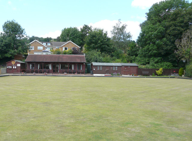
Image: © John Baker Taken: 1 Jul 2019
Planning permission has been granted by Canterbury City Council under application number CA//19/00028 for a “proposed single-storey side extension together with replacement roof and wall finishes, following demolition of existing shed”. The shed is located at the far left of the bowls club.
Images are licensed for reuse under creativecommons.org/licenses/by-sa/2.0
Image Location
Latitude
51.204437
Longitude
1.156433