Garfitts
Introduction
The photograph on this page of Garfitts by Mick Garratt as part of the Geograph project.
The Geograph project started in 2005 with the aim of publishing, organising and preserving representative images for every square kilometre of Great Britain, Ireland and the Isle of Man.

There are currently over 7.5m images from over 14,400 individuals and you can help contribute to the project by visiting https://www.geograph.org.uk
Garfitts
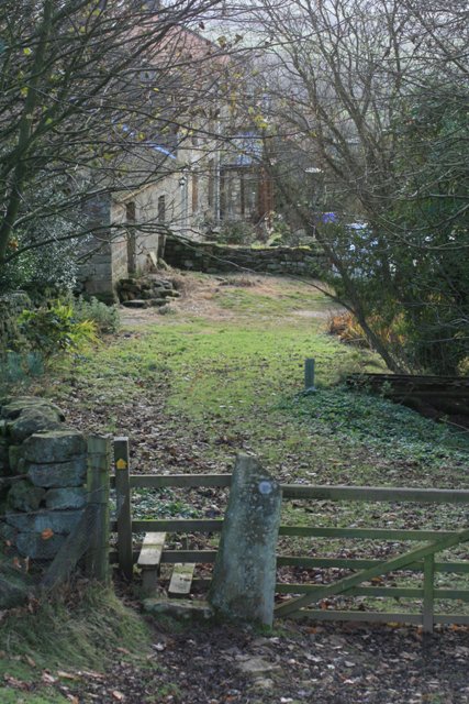
Image: © Mick Garratt Taken: 25 Nov 2007
The Public Footpath descends past this farm although it no longer seems to be a working farm.
Images are licensed for reuse under creativecommons.org/licenses/by-sa/2.0
Image Location
Latitude
54.419776
Longitude
-1.132953