Foxwood End, The Street, Newnham
Introduction
The photograph on this page of Foxwood End, The Street, Newnham by pam fray as part of the Geograph project.
The Geograph project started in 2005 with the aim of publishing, organising and preserving representative images for every square kilometre of Great Britain, Ireland and the Isle of Man.

There are currently over 7.5m images from over 14,400 individuals and you can help contribute to the project by visiting https://www.geograph.org.uk
Foxwood End, The Street, Newnham
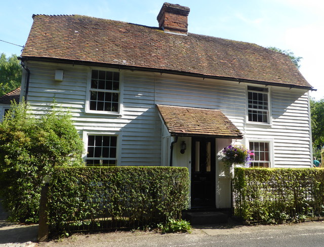
Image: © pam fray Taken: 7 Jul 2019
A Grade II listed 18th century Kent weather-boarded house which, for 60 years, was a village pub known as The Royal Oak until its closure in the mid 1920s. The garden to the rear was open as part of Newnham Open Gardens on 7th July, 2019.
Images are licensed for reuse under creativecommons.org/licenses/by-sa/2.0
Image Location
Latitude
51.283337
Longitude
0.795106