Infill construction
Introduction
The photograph on this page of Infill construction by Bob Harvey as part of the Geograph project.
The Geograph project started in 2005 with the aim of publishing, organising and preserving representative images for every square kilometre of Great Britain, Ireland and the Isle of Man.

There are currently over 7.5m images from over 14,400 individuals and you can help contribute to the project by visiting https://www.geograph.org.uk
Infill construction
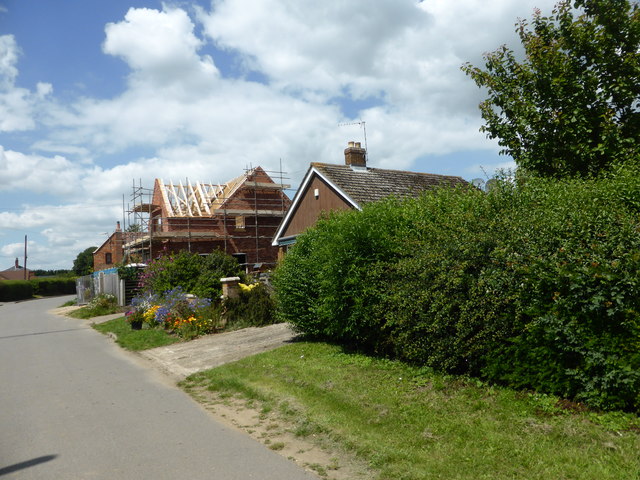
Image: © Bob Harvey Taken: 3 Jul 2019
A house being built on a plot between a 1970s bungalow and an earlier farm building, now itself a house.
Images are licensed for reuse under creativecommons.org/licenses/by-sa/2.0
Image Location
Latitude
52.959344
Longitude
-0.294503