Goad Avenue
Introduction
The photograph on this page of Goad Avenue by Derek Harper as part of the Geograph project.
The Geograph project started in 2005 with the aim of publishing, organising and preserving representative images for every square kilometre of Great Britain, Ireland and the Isle of Man.

There are currently over 7.5m images from over 14,400 individuals and you can help contribute to the project by visiting https://www.geograph.org.uk
Goad Avenue
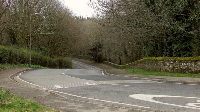
Image: © Derek Harper Taken: 2 Mar 2019
From its junction with the A374. The road works its way through a housing estate on the west side of Torpoint, after winding between these woods and walls.
Images are licensed for reuse under creativecommons.org/licenses/by-sa/2.0
Image Location


Leaflet Map data © OpenStreetMap
Latitude
50.379969
Longitude
-4.22078