
Stepped path at Kett's Heights
Introduction
The photograph on this page of Stepped path at Kett's Heights by Evelyn Simak as part of the Geograph project.
The Geograph project started in 2005 with the aim of publishing, organising and preserving representative images for every square kilometre of Great Britain, Ireland and the Isle of Man.

There are currently over 7.5m images from over 14,400 individuals and you can help contribute to the project by visiting https://www.geograph.org.uk
Stepped path at Kett's Heights
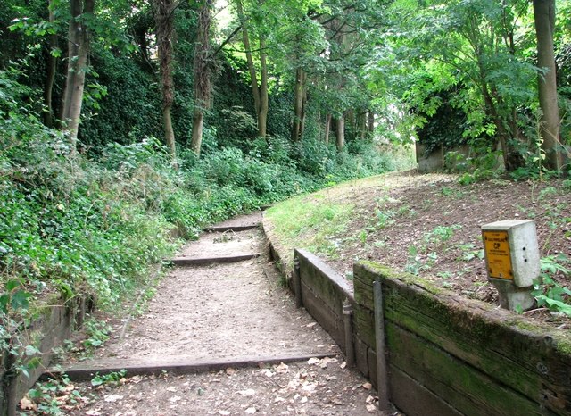
Image: © Evelyn Simak Taken: 5 Jul 2019
Note the gas pipeline marker at right. In about 1830, the Norwich Gas Company acquired a 5 acre plot for the construction of works to supply the whole city with coal gas. Two large gasometers > https://www.geograph.org.uk/photo/2309728 for storing and distributing the gas were also built, and a network of approximately twelve miles of pipelines was established, which supplied some 900 gas lamps across the city. The site was damaged in the Second World War and rebuilt in 1951.
Images are licensed for reuse under creativecommons.org/licenses/by-sa/2.0
Image Location

Latitude
52.633632
Longitude
1.313074