Junction, Wilcove
Introduction
The photograph on this page of Junction, Wilcove by Derek Harper as part of the Geograph project.
The Geograph project started in 2005 with the aim of publishing, organising and preserving representative images for every square kilometre of Great Britain, Ireland and the Isle of Man.

There are currently over 7.5m images from over 14,400 individuals and you can help contribute to the project by visiting https://www.geograph.org.uk
Junction, Wilcove
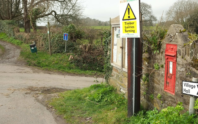
Image: © Derek Harper Taken: 2 Mar 2019
A reverse view of Image On the right is Victorian postbox PL11 596. The turn to the right leads to the farm at North Wilcove. Ahead is Byway open to all traffic 601 3/1.
Images are licensed for reuse under creativecommons.org/licenses/by-sa/2.0
Image Location


Leaflet Map data © OpenStreetMap
Latitude
50.386759
Longitude
-4.213782