Edginswell Farm [2]
Introduction
The photograph on this page of Edginswell Farm [2] by Michael Dibb as part of the Geograph project.
The Geograph project started in 2005 with the aim of publishing, organising and preserving representative images for every square kilometre of Great Britain, Ireland and the Isle of Man.

There are currently over 7.5m images from over 14,400 individuals and you can help contribute to the project by visiting https://www.geograph.org.uk
Edginswell Farm [2]
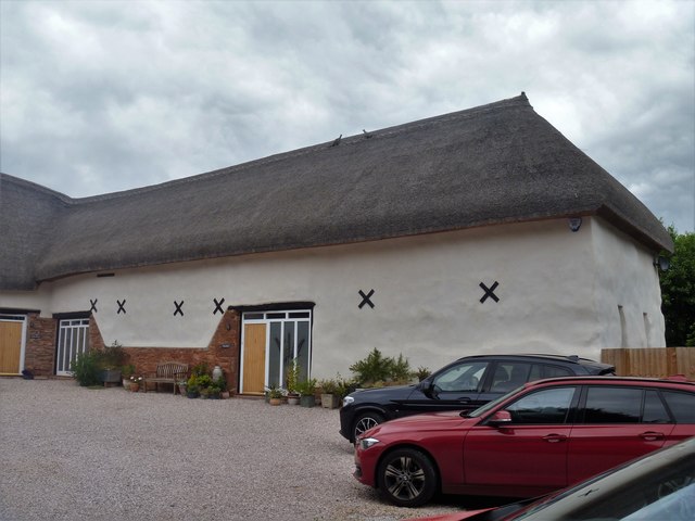
Image: © Michael Dibb Taken: 30 May 2019
This early 19th century threshing barn, a shippon/cider house (at right angles to the threshing barn) and a linhay Image make up the north east farmyard of Edginswell Farm. The two barns have been converted to residential use. Both barns are listed, grade II, with details at: https://historicengland.org.uk/listing/the-list/list-entry/1206767 and https://historicengland.org.uk/listing/the-list/list-entry/1206766
Images are licensed for reuse under creativecommons.org/licenses/by-sa/2.0
Image Location
Latitude
50.484214
Longitude
-3.569189