Llanover village
Introduction
The photograph on this page of Llanover village by M J Roscoe as part of the Geograph project.
The Geograph project started in 2005 with the aim of publishing, organising and preserving representative images for every square kilometre of Great Britain, Ireland and the Isle of Man.

There are currently over 7.5m images from over 14,400 individuals and you can help contribute to the project by visiting https://www.geograph.org.uk
Llanover village
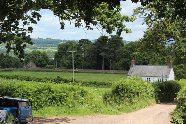
Image: © M J Roscoe Taken: 30 Jun 2019
Northern edge of village viewed from canal bridge 80 Image The long stone wall borders the far side of the A4042.
Images are licensed for reuse under creativecommons.org/licenses/by-sa/2.0
Image Location


Leaflet Map data © OpenStreetMap
Latitude
51.768109
Longitude
-3.002186