B3191 approaching Blue Anchor railway crossing
Introduction
The photograph on this page of B3191 approaching Blue Anchor railway crossing by John C as part of the Geograph project.
The Geograph project started in 2005 with the aim of publishing, organising and preserving representative images for every square kilometre of Great Britain, Ireland and the Isle of Man.

There are currently over 7.5m images from over 14,400 individuals and you can help contribute to the project by visiting https://www.geograph.org.uk
B3191 approaching Blue Anchor railway crossing
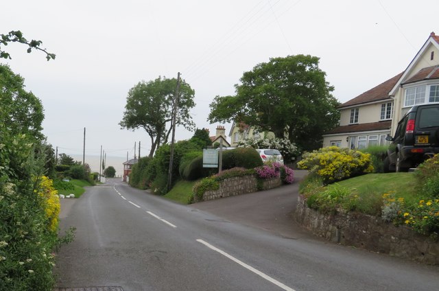
Image: © John C Taken: 26 Jun 2019
This road is Carhampton Road, NOT Eastbury Road as shown on the online map. The property to the right is The Langbury who confirm this error.
Images are licensed for reuse under creativecommons.org/licenses/by-sa/2.0
Image Location
Latitude
51.180912
Longitude
-3.402386