Church Hill, Nutfield
Introduction
The photograph on this page of Church Hill, Nutfield by Robin Webster as part of the Geograph project.
The Geograph project started in 2005 with the aim of publishing, organising and preserving representative images for every square kilometre of Great Britain, Ireland and the Isle of Man.

There are currently over 7.5m images from over 14,400 individuals and you can help contribute to the project by visiting https://www.geograph.org.uk
Church Hill, Nutfield
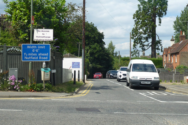
Image: © Robin Webster Taken: 2 Jul 2019
Looking across the A25 from Cooper's Hill Road, both are used by the London to Brighton bike ride route, in the opposite direction. Getting here up Church Hill is the second significant climb on the route, the first being the North Downs via How Lane, Woodmansterne.
Images are licensed for reuse under creativecommons.org/licenses/by-sa/2.0
Image Location
Latitude
51.240006
Longitude
-0.125335