Warnford Corner, West Meon
Introduction
The photograph on this page of Warnford Corner, West Meon by Peter Facey as part of the Geograph project.
The Geograph project started in 2005 with the aim of publishing, organising and preserving representative images for every square kilometre of Great Britain, Ireland and the Isle of Man.

There are currently over 7.5m images from over 14,400 individuals and you can help contribute to the project by visiting https://www.geograph.org.uk
Warnford Corner, West Meon
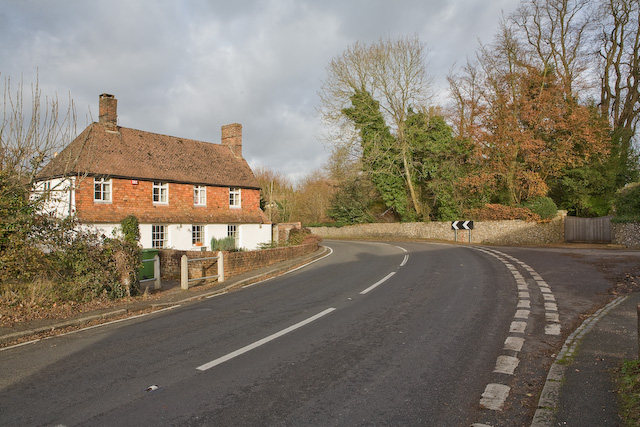
Image: © Peter Facey Taken: 25 Nov 2007
The house seems to be named Warnford Corner, but I presume this bend in the A32 is also so named. Station Road is at right, but the railway is no more. The wooden gate at right leads into West Meon House.
Images are licensed for reuse under creativecommons.org/licenses/by-sa/2.0
Image Location
Latitude
51.01093
Longitude
-1.089103