Farmland, Boddington
Introduction
The photograph on this page of Farmland, Boddington by Andrew Smith as part of the Geograph project.
The Geograph project started in 2005 with the aim of publishing, organising and preserving representative images for every square kilometre of Great Britain, Ireland and the Isle of Man.

There are currently over 7.5m images from over 14,400 individuals and you can help contribute to the project by visiting https://www.geograph.org.uk
Farmland, Boddington
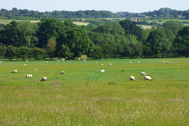
Image: © Andrew Smith Taken: 29 Jun 2019
Sheep grazing to the south of the road between Lower Boddington and Aston le Walls.
Images are licensed for reuse under creativecommons.org/licenses/by-sa/2.0
Image Location
Latitude
52.160454
Longitude
-1.291249