Brookhill Road, Copthorne
Introduction
The photograph on this page of Brookhill Road, Copthorne by Robin Webster as part of the Geograph project.
The Geograph project started in 2005 with the aim of publishing, organising and preserving representative images for every square kilometre of Great Britain, Ireland and the Isle of Man.

There are currently over 7.5m images from over 14,400 individuals and you can help contribute to the project by visiting https://www.geograph.org.uk
Brookhill Road, Copthorne
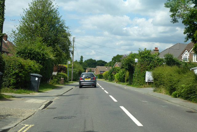
Image: © Robin Webster Taken: 2 Jul 2019
Heading into the village from the A264 roundabout. This road is used by the London to Brighton bike ride route, in the opposite direction.
Images are licensed for reuse under creativecommons.org/licenses/by-sa/2.0
Image Location
Latitude
51.135046
Longitude
-0.124587