Houses in Llandegla
Introduction
The photograph on this page of Houses in Llandegla by John Allan as part of the Geograph project.
The Geograph project started in 2005 with the aim of publishing, organising and preserving representative images for every square kilometre of Great Britain, Ireland and the Isle of Man.

There are currently over 7.5m images from over 14,400 individuals and you can help contribute to the project by visiting https://www.geograph.org.uk
Houses in Llandegla
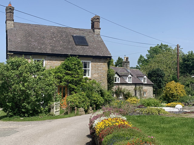
Image: © John Allan Taken: 28 Jun 2019
At the north end of the village by the church. They are seen here from the route of Offa's Dyke Path.
Images are licensed for reuse under creativecommons.org/licenses/by-sa/2.0
Image Location
Latitude
53.063225
Longitude
-3.200922