Glendinning Road, Knightswood
Introduction
The photograph on this page of Glendinning Road, Knightswood by Stephen McKay as part of the Geograph project.
The Geograph project started in 2005 with the aim of publishing, organising and preserving representative images for every square kilometre of Great Britain, Ireland and the Isle of Man.

There are currently over 7.5m images from over 14,400 individuals and you can help contribute to the project by visiting https://www.geograph.org.uk
Glendinning Road, Knightswood
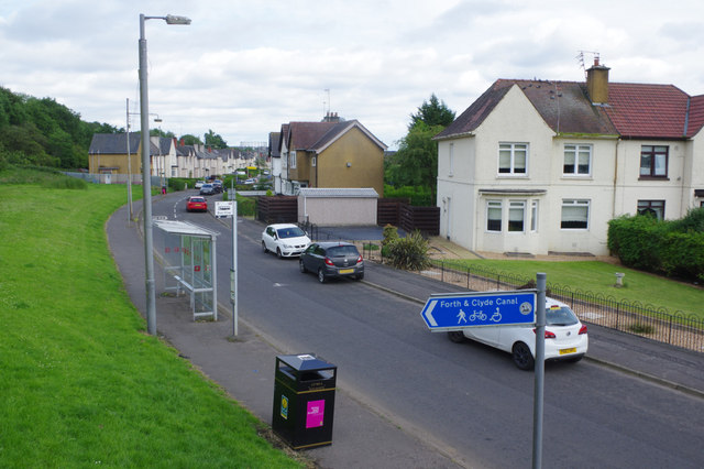
Image: © Stephen McKay Taken: 25 Jun 2019
This suburban road is seen from the footbridge that leads across the Forth and Clyde Canal to Westerton Station.
Images are licensed for reuse under creativecommons.org/licenses/by-sa/2.0
Image Location
Latitude
55.903632
Longitude
-4.335129