View west along St Leonards Road
Introduction
The photograph on this page of View west along St Leonards Road by Evelyn Simak as part of the Geograph project.
The Geograph project started in 2005 with the aim of publishing, organising and preserving representative images for every square kilometre of Great Britain, Ireland and the Isle of Man.

There are currently over 7.5m images from over 14,400 individuals and you can help contribute to the project by visiting https://www.geograph.org.uk
View west along St Leonards Road
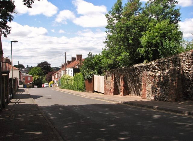
Image: © Evelyn Simak Taken: 1 Jul 2019
Downhill all the way to the junction with Rosary Road. Note the old buttressed flint wall at right.
Images are licensed for reuse under creativecommons.org/licenses/by-sa/2.0
Image Location
Latitude
52.62906
Longitude
1.309329