Farmland on the south side of the A610, near Giltbrook
Introduction
The photograph on this page of Farmland on the south side of the A610, near Giltbrook by Christine Johnstone as part of the Geograph project.
The Geograph project started in 2005 with the aim of publishing, organising and preserving representative images for every square kilometre of Great Britain, Ireland and the Isle of Man.

There are currently over 7.5m images from over 14,400 individuals and you can help contribute to the project by visiting https://www.geograph.org.uk
Farmland on the south side of the A610, near Giltbrook
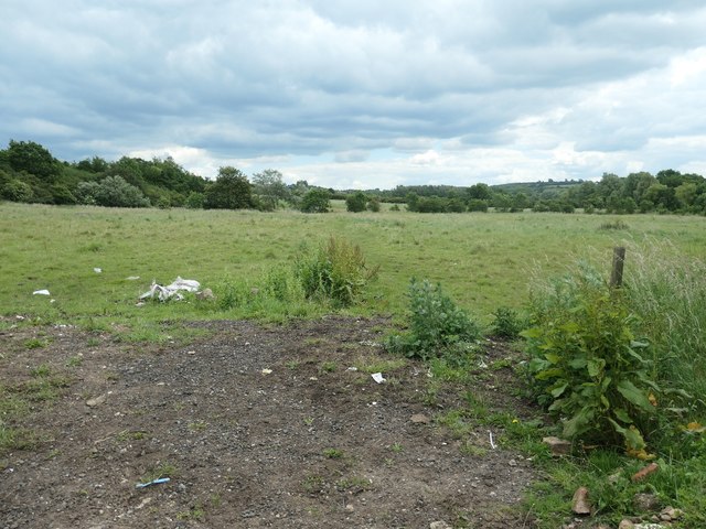
Image: © Christine Johnstone Taken: 21 Jun 2019
Previously opencast? About 65 metres above sea level.
Images are licensed for reuse under creativecommons.org/licenses/by-sa/2.0
Image Location
Latitude
53.001476
Longitude
-1.292757