House at level crossing west of Bottesford station
Introduction
The photograph on this page of House at level crossing west of Bottesford station by Roger Templeman as part of the Geograph project.
The Geograph project started in 2005 with the aim of publishing, organising and preserving representative images for every square kilometre of Great Britain, Ireland and the Isle of Man.

There are currently over 7.5m images from over 14,400 individuals and you can help contribute to the project by visiting https://www.geograph.org.uk
House at level crossing west of Bottesford station
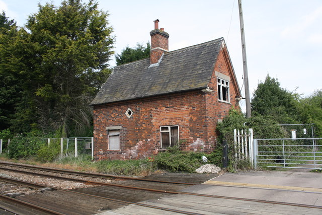
Image: © Roger Templeman Taken: 7 May 2019
There is an Ordnance Survey cut mark benchmark www.bench-marks.org.uk/bm34656 at the far right hand corner of the building. The mark is no longer visible because of a mass of brambles growing around the corner.
Images are licensed for reuse under creativecommons.org/licenses/by-sa/2.0
Image Location
Latitude
52.94526
Longitude
-0.796611