The northern end of the former aqueduct, Consall Marsh
Introduction
The photograph on this page of The northern end of the former aqueduct, Consall Marsh by Christine Johnstone as part of the Geograph project.
The Geograph project started in 2005 with the aim of publishing, organising and preserving representative images for every square kilometre of Great Britain, Ireland and the Isle of Man.

There are currently over 7.5m images from over 14,400 individuals and you can help contribute to the project by visiting https://www.geograph.org.uk
The northern end of the former aqueduct, Consall Marsh
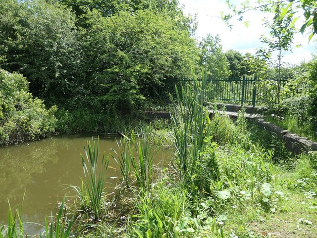
Image: © Christine Johnstone Taken: 21 Jun 2019
The aqueduct was demolished in the 1960s, but pipelines ensure that this section of the Nottingham Canal remains in water.
Images are licensed for reuse under creativecommons.org/licenses/by-sa/2.0
Image Location
Latitude
52.980768
Longitude
-1.287436