OS benchmark - Ribbleton 164 Ribbleton Avenue
Introduction
The photograph on this page of OS benchmark - Ribbleton 164 Ribbleton Avenue by Richard Law as part of the Geograph project.
The Geograph project started in 2005 with the aim of publishing, organising and preserving representative images for every square kilometre of Great Britain, Ireland and the Isle of Man.

There are currently over 7.5m images from over 14,400 individuals and you can help contribute to the project by visiting https://www.geograph.org.uk
OS benchmark - Ribbleton 164 Ribbleton Avenue
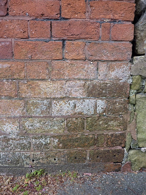
Image: © Richard Law Taken: 22 May 2019
A very weathered OS cutmark on the wall of an outbuilding on Ribbleton Avenue. It's not entirely clear if this is the one marked on maps around 1910 at 176.4 feet above Liverpool datum, or whether it's a more recent replacement levelled in 1961 at 52.429m above Ordnance Datum Newlyn. Personally I suspect it's the former, based on the type of bricks, and the amount of weathering as much as anything else.
Images are licensed for reuse under creativecommons.org/licenses/by-sa/2.0
Image Location
Latitude
53.773403
Longitude
-2.666225