Maryhill Road, Glasgow
Introduction
The photograph on this page of Maryhill Road, Glasgow by M J Richardson as part of the Geograph project.
The Geograph project started in 2005 with the aim of publishing, organising and preserving representative images for every square kilometre of Great Britain, Ireland and the Isle of Man.

There are currently over 7.5m images from over 14,400 individuals and you can help contribute to the project by visiting https://www.geograph.org.uk
Maryhill Road, Glasgow
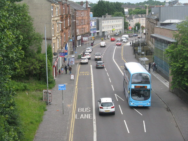
Image: © M J Richardson Taken: 25 Jun 2019
Looking down from the Forth & Clyde Canal aqueduct, along the A81.
Images are licensed for reuse under creativecommons.org/licenses/by-sa/2.0
Image Location
Latitude
55.890899
Longitude
-4.290543