Old Station direction and distance sign, Tintern
Introduction
The photograph on this page of Old Station direction and distance sign, Tintern by Jaggery as part of the Geograph project.
The Geograph project started in 2005 with the aim of publishing, organising and preserving representative images for every square kilometre of Great Britain, Ireland and the Isle of Man.

There are currently over 7.5m images from over 14,400 individuals and you can help contribute to the project by visiting https://www.geograph.org.uk
Old Station direction and distance sign, Tintern
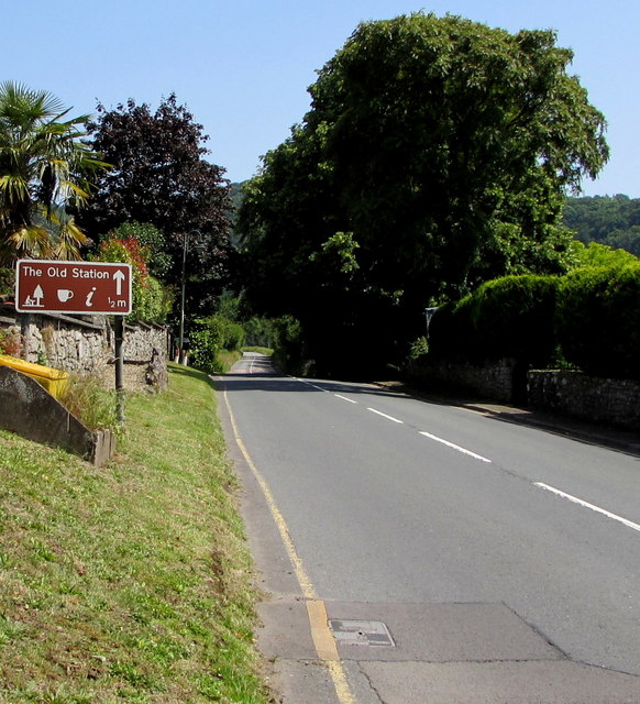
Image: © Jaggery Taken: 29 Jun 2019
Alongside the A466 half-a-mile from the former Tintern railway station site which now has a cafe, picnic area, children's play area and zip wire.
Images are licensed for reuse under creativecommons.org/licenses/by-sa/2.0
Image Location
Latitude
51.703972
Longitude
-2.679652