Bridges carrying Cleveden Road
Introduction
The photograph on this page of Bridges carrying Cleveden Road by Mark Anderson as part of the Geograph project.
The Geograph project started in 2005 with the aim of publishing, organising and preserving representative images for every square kilometre of Great Britain, Ireland and the Isle of Man.

There are currently over 7.5m images from over 14,400 individuals and you can help contribute to the project by visiting https://www.geograph.org.uk
Bridges carrying Cleveden Road
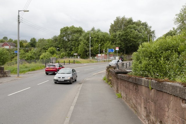
Image: © Mark Anderson Taken: 25 Jun 2019
The bridge in the foreground goes over a disused railway line. The next bridge is for the Forth and Clyde Canal.
Images are licensed for reuse under creativecommons.org/licenses/by-sa/2.0
Image Location
Latitude
55.893079
Longitude
-4.308585