Osborne Road
Introduction
The photograph on this page of Osborne Road by Chris Brown as part of the Geograph project.
The Geograph project started in 2005 with the aim of publishing, organising and preserving representative images for every square kilometre of Great Britain, Ireland and the Isle of Man.

There are currently over 7.5m images from over 14,400 individuals and you can help contribute to the project by visiting https://www.geograph.org.uk
Osborne Road
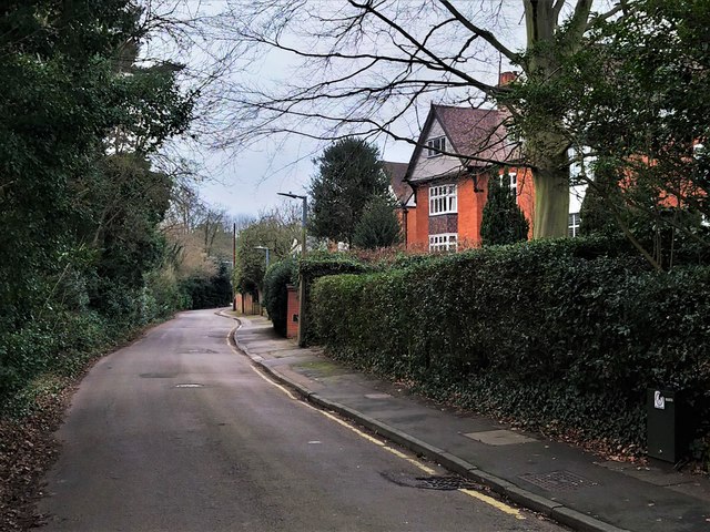
Image: © Chris Brown Taken: 31 Jan 2019
The southern boundary of the St Catharine's estate is the Spitalbrook, behind the hedge on the left.
Images are licensed for reuse under creativecommons.org/licenses/by-sa/2.0
Image Location
Latitude
51.75112
Longitude
-0.014422