St Catharine's
Introduction
The photograph on this page of St Catharine's by Chris Brown as part of the Geograph project.
The Geograph project started in 2005 with the aim of publishing, organising and preserving representative images for every square kilometre of Great Britain, Ireland and the Isle of Man.

There are currently over 7.5m images from over 14,400 individuals and you can help contribute to the project by visiting https://www.geograph.org.uk
St Catharine's
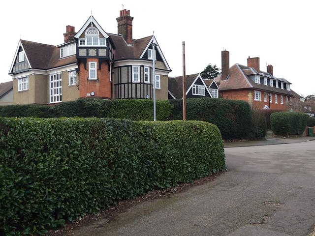
Image: © Chris Brown Taken: 31 Jan 2019
Two contrasting houses on the eastern section of St Catharine's Road, both designed by Reginald Blomfield. The nearer, St Catharine's, is now a care home. The semi-detached pair in William-and-Mary style beyond, dating from 1894, is Grade 2 listed.
Images are licensed for reuse under creativecommons.org/licenses/by-sa/2.0
Image Location
Latitude
51.750911
Longitude
-0.012693