Joyces
Introduction
The photograph on this page of Joyces by Simon Carey as part of the Geograph project.
The Geograph project started in 2005 with the aim of publishing, organising and preserving representative images for every square kilometre of Great Britain, Ireland and the Isle of Man.

There are currently over 7.5m images from over 14,400 individuals and you can help contribute to the project by visiting https://www.geograph.org.uk
Joyces
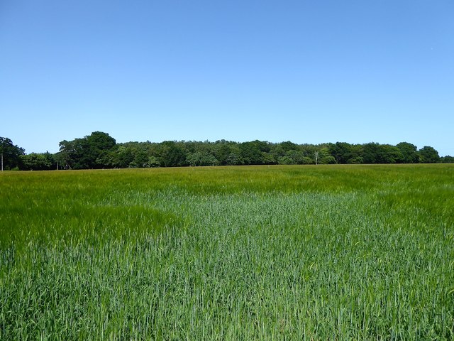
Image: © Simon Carey Taken: 27 Jun 2019
The name of the field according to Iden's 1842 tithe map that is bounded by Brabands Wood to the north, Coldharbour Lane to the west and Coldharbour to the south.
Images are licensed for reuse under creativecommons.org/licenses/by-sa/2.0
Image Location
Latitude
50.976613
Longitude
0.711958