Ice Risk
Introduction
The photograph on this page of Ice Risk by Steve Barnes as part of the Geograph project.
The Geograph project started in 2005 with the aim of publishing, organising and preserving representative images for every square kilometre of Great Britain, Ireland and the Isle of Man.

There are currently over 7.5m images from over 14,400 individuals and you can help contribute to the project by visiting https://www.geograph.org.uk
Ice Risk
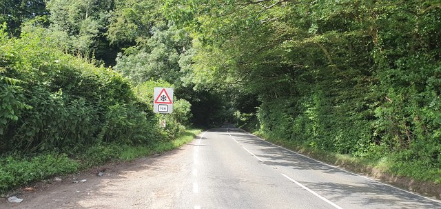
Image: © Steve Barnes Taken: 28 Jun 2019
This road sign seems a little ironic since the temperature was in excess of 27 degrees Celsius at the time. Near the top of Portbury Lane.
Images are licensed for reuse under creativecommons.org/licenses/by-sa/2.0
Image Location
Latitude
51.450642
Longitude
-2.716464