View from near Chanctonbury Ring
Introduction
The photograph on this page of View from near Chanctonbury Ring by Robin Webster as part of the Geograph project.
The Geograph project started in 2005 with the aim of publishing, organising and preserving representative images for every square kilometre of Great Britain, Ireland and the Isle of Man.

There are currently over 7.5m images from over 14,400 individuals and you can help contribute to the project by visiting https://www.geograph.org.uk
View from near Chanctonbury Ring
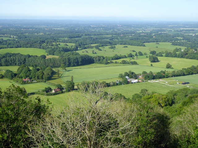
Image: © Robin Webster Taken: 27 Jun 2019
Great Barn Farm is on the right. The houses are on Chanctonbury Ring Road, which degenerates to a steep bridleway up Wiston Bostal to the top of the downs.
Images are licensed for reuse under creativecommons.org/licenses/by-sa/2.0
Image Location
Latitude
50.899454
Longitude
-0.372276