Safety Gate
Introduction
The photograph on this page of Safety Gate by Anne Burgess as part of the Geograph project.
The Geograph project started in 2005 with the aim of publishing, organising and preserving representative images for every square kilometre of Great Britain, Ireland and the Isle of Man.

There are currently over 7.5m images from over 14,400 individuals and you can help contribute to the project by visiting https://www.geograph.org.uk
Safety Gate
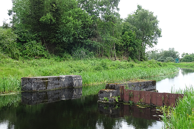
Image: © Anne Burgess Taken: 25 Jun 2019
This is one of several gates installed during the 1939-1945 war to prevent flooding in the event of the canal being bombed. See also Image
Images are licensed for reuse under creativecommons.org/licenses/by-sa/2.0
Image Location
Latitude
55.881348
Longitude
-4.267595