West Street, Horncastle
Introduction
The photograph on this page of West Street, Horncastle by Dave Hitchborne as part of the Geograph project.
The Geograph project started in 2005 with the aim of publishing, organising and preserving representative images for every square kilometre of Great Britain, Ireland and the Isle of Man.

There are currently over 7.5m images from over 14,400 individuals and you can help contribute to the project by visiting https://www.geograph.org.uk
West Street, Horncastle
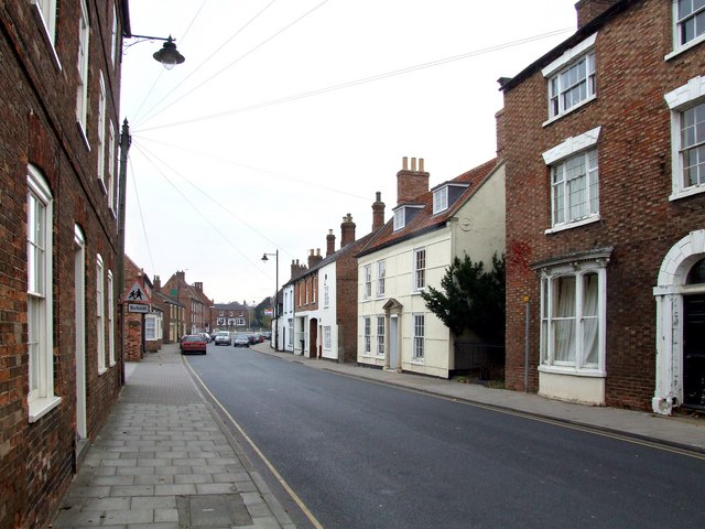
Image: © Dave Hitchborne Taken: 5 Nov 2007
Looking towards the junction of the A158 Lincoln to Skegness road. The former Watson's Infant School is by the street light on the far side. The former asylum is far right.
Images are licensed for reuse under creativecommons.org/licenses/by-sa/2.0
Image Location


Leaflet Map data © OpenStreetMap
Latitude
53.208561
Longitude
-0.121847