28 Stanley Avenue
Introduction
The photograph on this page of 28 Stanley Avenue by Evelyn Simak as part of the Geograph project.
The Geograph project started in 2005 with the aim of publishing, organising and preserving representative images for every square kilometre of Great Britain, Ireland and the Isle of Man.

There are currently over 7.5m images from over 14,400 individuals and you can help contribute to the project by visiting https://www.geograph.org.uk
28 Stanley Avenue
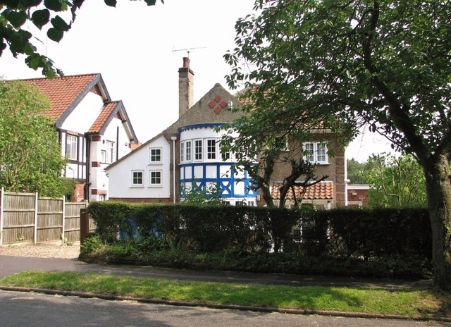
Image: © Evelyn Simak Taken: 25 Jun 2019
Stanley Avenue forms a loop from Thorpe Road to Harvey Lane. The road was constructed in the early 1870s but it took until the 1890s before some houses were built, the first of these at the corner. Most other houses date from the 1930s like the one depicted here, which has a mock Tudor bay.
Images are licensed for reuse under creativecommons.org/licenses/by-sa/2.0
Image Location
Latitude
52.627986
Longitude
1.32521