View north along Quebec Road
Introduction
The photograph on this page of View north along Quebec Road by Evelyn Simak as part of the Geograph project.
The Geograph project started in 2005 with the aim of publishing, organising and preserving representative images for every square kilometre of Great Britain, Ireland and the Isle of Man.

There are currently over 7.5m images from over 14,400 individuals and you can help contribute to the project by visiting https://www.geograph.org.uk
View north along Quebec Road
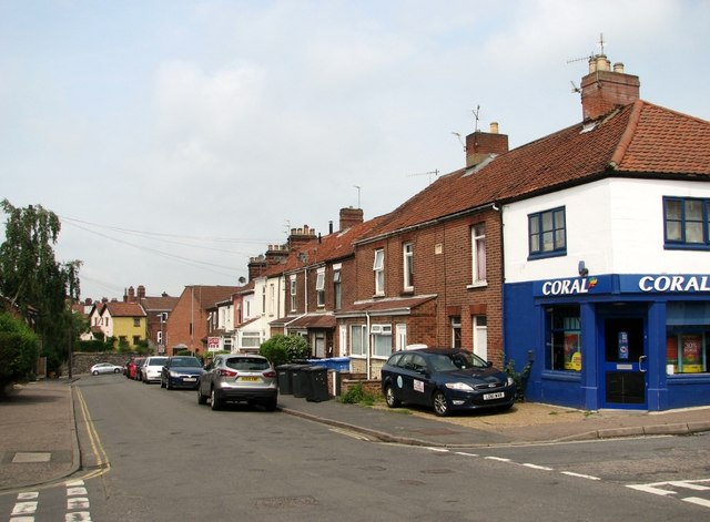
Image: © Evelyn Simak Taken: 25 Jun 2019
Towards the junction with Kett's Hill. Wolfe Road turns off in the foreground at right and the junction at left is with St Leonards Road.
Images are licensed for reuse under creativecommons.org/licenses/by-sa/2.0
Image Location
Latitude
52.632938
Longitude
1.315387