The Navigation, London Road, Wilmorton
Introduction
The photograph on this page of The Navigation, London Road, Wilmorton by Richard Vince as part of the Geograph project.
The Geograph project started in 2005 with the aim of publishing, organising and preserving representative images for every square kilometre of Great Britain, Ireland and the Isle of Man.

There are currently over 7.5m images from over 14,400 individuals and you can help contribute to the project by visiting https://www.geograph.org.uk
The Navigation, London Road, Wilmorton
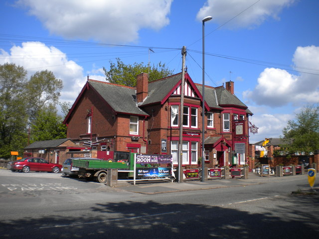
Image: © Richard Vince Taken: 4 May 2019
A pub that presumably derives its name from its proximity to the Derby Canal, long since infilled and now a footpath and cycleway.
Images are licensed for reuse under creativecommons.org/licenses/by-sa/2.0
Image Location
Latitude
52.904668
Longitude
-1.446879