Near Peters Marland
Introduction
The photograph on this page of Near Peters Marland by Derek Harper as part of the Geograph project.
The Geograph project started in 2005 with the aim of publishing, organising and preserving representative images for every square kilometre of Great Britain, Ireland and the Isle of Man.

There are currently over 7.5m images from over 14,400 individuals and you can help contribute to the project by visiting https://www.geograph.org.uk
Near Peters Marland
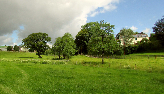
Image: © Derek Harper Taken: 21 Jun 2019
A broader view from where Image was taken, with some of the farm buildings at Combe on the left, and Rose Cottage on the right. The River Mere runs through the meadow towards the right of the camera;
Images are licensed for reuse under creativecommons.org/licenses/by-sa/2.0
Image Location
Latitude
50.898412
Longitude
-4.167