40-54, Udimore Road, Rye
Introduction
The photograph on this page of 40-54, Udimore Road, Rye by Simon Carey as part of the Geograph project.
The Geograph project started in 2005 with the aim of publishing, organising and preserving representative images for every square kilometre of Great Britain, Ireland and the Isle of Man.

There are currently over 7.5m images from over 14,400 individuals and you can help contribute to the project by visiting https://www.geograph.org.uk
40-54, Udimore Road, Rye
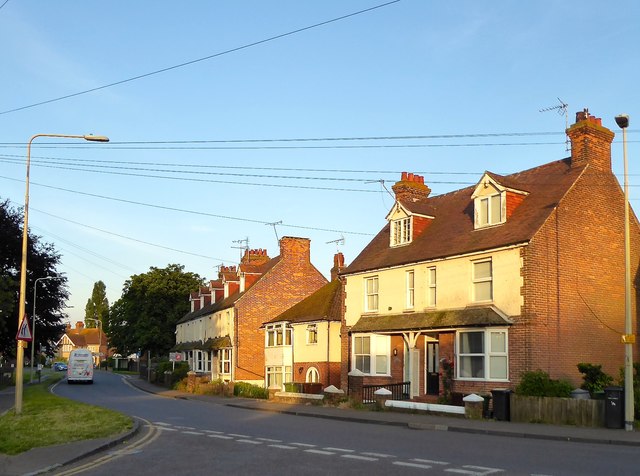
Image: © Simon Carey Taken: 22 Jun 2019
Numbers 40-48 are the terrace to the left, 50 is the single dwelling in the middle and 52-54 are on the right. All bar number 50 were built in the first decade of the 20th century.
Images are licensed for reuse under creativecommons.org/licenses/by-sa/2.0
Image Location
Latitude
50.950713
Longitude
0.723407