Mill Place, Saltcote Lane, Playden
Introduction
The photograph on this page of Mill Place, Saltcote Lane, Playden by Simon Carey as part of the Geograph project.
The Geograph project started in 2005 with the aim of publishing, organising and preserving representative images for every square kilometre of Great Britain, Ireland and the Isle of Man.

There are currently over 7.5m images from over 14,400 individuals and you can help contribute to the project by visiting https://www.geograph.org.uk
Mill Place, Saltcote Lane, Playden
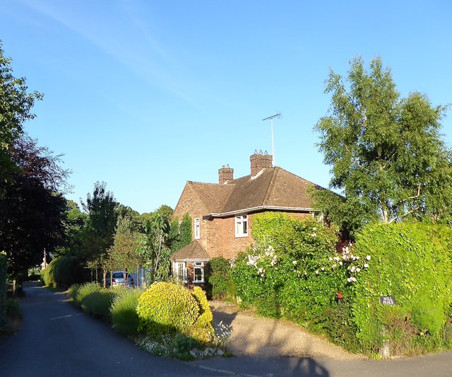
Image: © Simon Carey Taken: 22 Jun 2019
Built on the site of Playden Mill which was marked on Yeakell & Gardner's 1778-83 map, ceased working before World War One and was pulled down around 1950 when the house was built in its place.
Images are licensed for reuse under creativecommons.org/licenses/by-sa/2.0
Image Location
Latitude
50.959981
Longitude
0.734773