The road from Glaisdale to Glaisdale Low Moor
Introduction
The photograph on this page of The road from Glaisdale to Glaisdale Low Moor by Christine Johnstone as part of the Geograph project.
The Geograph project started in 2005 with the aim of publishing, organising and preserving representative images for every square kilometre of Great Britain, Ireland and the Isle of Man.

There are currently over 7.5m images from over 14,400 individuals and you can help contribute to the project by visiting https://www.geograph.org.uk
The road from Glaisdale to Glaisdale Low Moor
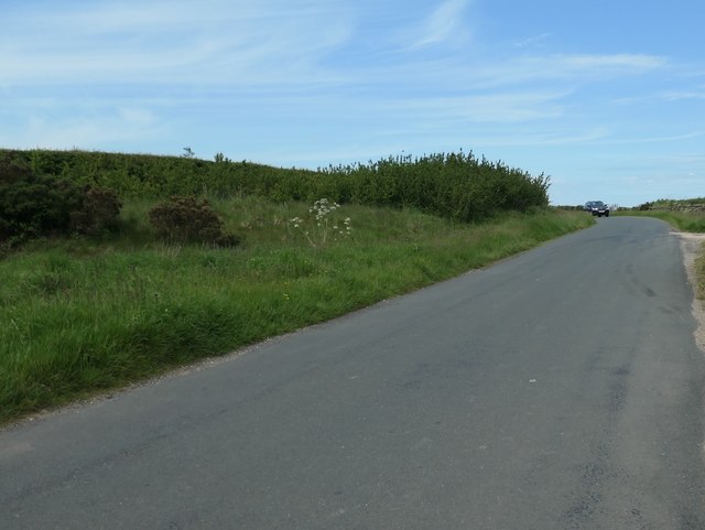
Image: © Christine Johnstone Taken: 10 Jun 2019
Climbing past Wind Hill House. Other more direct routes are available, but they are not tarmacked.
Images are licensed for reuse under creativecommons.org/licenses/by-sa/2.0
Image Location
Latitude
54.44677
Longitude
-0.827807