Wistford Cross
Introduction
The photograph on this page of Wistford Cross by Derek Harper as part of the Geograph project.
The Geograph project started in 2005 with the aim of publishing, organising and preserving representative images for every square kilometre of Great Britain, Ireland and the Isle of Man.

There are currently over 7.5m images from over 14,400 individuals and you can help contribute to the project by visiting https://www.geograph.org.uk
Wistford Cross
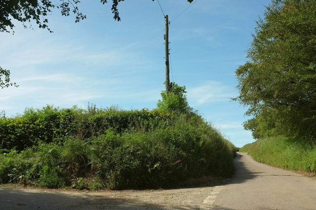
Image: © Derek Harper Taken: 22 Jun 2019
At least, that what it's called on the map, but the signpost clearly says "Goodwells Head Cross", Goodwells Head being the name of the adjacent house. The signpost appears to have only one arm, though it's almost buried in the hedge.
Images are licensed for reuse under creativecommons.org/licenses/by-sa/2.0
Image Location


Leaflet Map data © OpenStreetMap
Latitude
51.081827
Longitude
-3.906997