Housing diversity (Cambray Road)
Introduction
The photograph on this page of Housing diversity (Cambray Road) by Ian Capper as part of the Geograph project.
The Geograph project started in 2005 with the aim of publishing, organising and preserving representative images for every square kilometre of Great Britain, Ireland and the Isle of Man.

There are currently over 7.5m images from over 14,400 individuals and you can help contribute to the project by visiting https://www.geograph.org.uk
Housing diversity (Cambray Road)
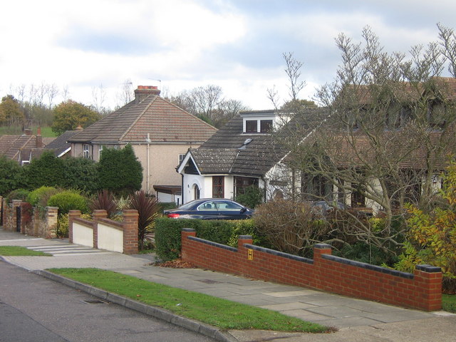
Image: © Ian Capper Taken: 23 Nov 2007
A series of photos showing the diversity of housing in one gridsquare in outer suburbia. For others in series see http://www.geograph.org.uk/search.php?i=1905481. Any further information, such as building dates and what was on the sites before building, would be appreciated. Cambray Road, which the 1940 1 inch map at http://www.npemap.org.uk/tiles/map.html#546,166,1 shows as a close off Chislehurst Road, with the 1970 1 inch map showing as having an extension at the foot along the line of the current Perry Hall Road, which since then has been widened to form a replacement main A208 Orpington to Chislehurst road, with Cambray Road forming a link between the old and new roads.
Images are licensed for reuse under creativecommons.org/licenses/by-sa/2.0
Image Location
Latitude
51.38257
Longitude
0.095908