Lines north [1]
Introduction
The photograph on this page of Lines north [1] by Michael Dibb as part of the Geograph project.
The Geograph project started in 2005 with the aim of publishing, organising and preserving representative images for every square kilometre of Great Britain, Ireland and the Isle of Man.

There are currently over 7.5m images from over 14,400 individuals and you can help contribute to the project by visiting https://www.geograph.org.uk
Lines north [1]
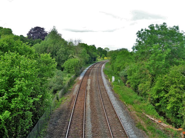
Image: © Michael Dibb Taken: 27 May 2019
Seen from the bridge carrying the oddly named road, Dobbin Arch, over the Exeter to Torquay and Paignton railway. Here looking north. The line is now known as the Riviera Line and was opened in 1859.
Images are licensed for reuse under creativecommons.org/licenses/by-sa/2.0
Image Location
Latitude
50.500893
Longitude
-3.586099