Parsonage Barn
Introduction
The photograph on this page of Parsonage Barn by Stefan Czapski as part of the Geograph project.
The Geograph project started in 2005 with the aim of publishing, organising and preserving representative images for every square kilometre of Great Britain, Ireland and the Isle of Man.

There are currently over 7.5m images from over 14,400 individuals and you can help contribute to the project by visiting https://www.geograph.org.uk
Parsonage Barn
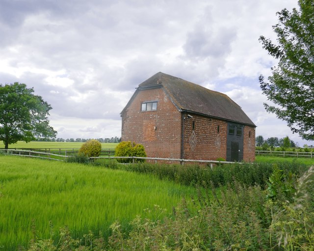
Image: © Stefan Czapski Taken: 21 Jun 2019
A converted barn, by the lane which runs up from East Hendred to Scutchamer Knob on the Ridgeway. The terrain may look flattish, but the elevation here is about 125m.
Images are licensed for reuse under creativecommons.org/licenses/by-sa/2.0
Image Location


Leaflet Map data © OpenStreetMap
Latitude
51.581252
Longitude
-1.337816