Muswell Hill Road
Introduction
The photograph on this page of Muswell Hill Road by David Howard as part of the Geograph project.
The Geograph project started in 2005 with the aim of publishing, organising and preserving representative images for every square kilometre of Great Britain, Ireland and the Isle of Man.

There are currently over 7.5m images from over 14,400 individuals and you can help contribute to the project by visiting https://www.geograph.org.uk
Muswell Hill Road
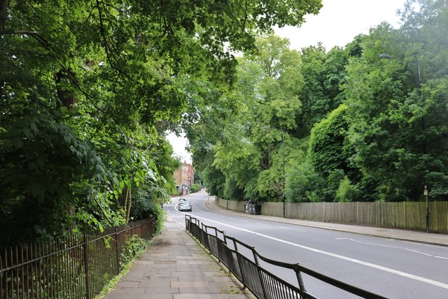
Image: © David Howard Taken: 15 Jun 2019
Queen's Wood is on the left, Highgate Wood is on the right, although most of it is actually in Muswell Hill
Images are licensed for reuse under creativecommons.org/licenses/by-sa/2.0
Image Location
Latitude
51.580903
Longitude
-0.14699